Nina Moiseeva
What employment sector do you work in?
Industry Sector
How long have you had a green job for nature?
15 years
Please describe the work that you do.
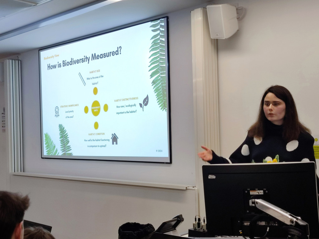
I lead scientific development at Map Impact, where I design scalable workflows for environmental and climate-focused spatial analysis. I develop satellite-based methods for habitat assessment, biodiversity mapping, land use classification, and climate risk modelling. My work supports policy and planning frameworks such as Biodiversity Net Gain. I ensure our products meet technical and regulatory standards and deliver consistent, nationwide spatial evidence for environmental decision-making.
What do you most like about your job? Any dislikes?
I enjoy designing spatial tools that help solve environmental problems. It’s deeply satisfying to see our work applied in planning, conservation, and climate adaptation projects. I value the ability to work across scientific disciplines and engage with policy requirements. Every project is a chance to translate data into action. It’s rewarding when our methods support Biodiversity Net Gain or improve understanding of landscape-scale ecological change and restoration planning.
What inspired you into this career?
My career began with a strong interest in maps, landscapes, and spatial systems. Field research gave me early exposure to ecosystem and land dynamics. I realised that effective restoration and planning rely on clear evidence. Satellite Earth observation, GIS, Artificial Intelligence, and cloud computing opened a path to scale up environmental work. I enjoy developing spatial workflows and environmental data tools that support biodiversity protection, land policy, and climate risk awareness.
Have you faced any challenges in progressing your career so far?
One challenge has been the lack of formal pathways combining geospatial methods, computational science, and environmental principles. These areas are often developed separately in academia. I built my expertise by developing spatial algorithms, leading interdisciplinary projects, and aligning data-driven methods with ecological and planning goals. Delivering climate and environmental solutions has required bridging science, policy, and technical implementation in a scalable and effective way.
What education/training did you have?
I hold degrees in cartography, GIS, natural resource management, and computational science, as well as a master’s degree in geospatial science. My education combines spatial modelling, Earth observation, land use systems, and environmental economics. Through applied research and product development, I’ve deepened this foundation to support the implementation of Biodiversity Net Gain, climate adaptation modelling, and evidence-based planning workflows in complex environmental contexts.
What advice would you give to someone coming into the profession?
Build depth in one area, but learn how to move between others. The most impactful work often happens when ecology, data, and policy intersect. Environmental solutions need practical tools, not just analysis. Be willing to learn applied methods, understand regulatory frameworks, and talk to users. Focus on solving real-world challenges, such as climate resilience and nature recovery, and always ask how your work can support real-world and beneficial outcomes.
—
Tags: England, Industry sector, Data and mapping roles, Environmental adviser, Project manager
Date profile submitted: 01/09/2025
Related Job Profiles
Katy Stevenson

Charlotte Evans

Abbie de Castella
